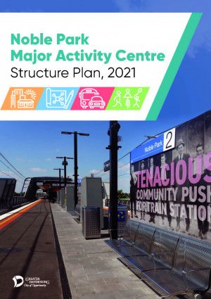
The Noble Park Major Activity Centre Structure Plan, 2021 sets out the long-term vision, planning and design framework for Noble Park. The Structure Plan manages and guides the future development of the activity centre for the next 20 years.
The Structure Plan was adopted by Council at its Ordinary Meeting of Council on 24 May 2021.
Vision for Noble Park
The Structure Plan has the following vision for Noble Park.
In 2040, Noble Park will be:
- a thriving, high-quality centre that meets the day-to-day needs of its residents, workers and visitors
- a centre that protects its 'village character' and compact size with high quality development in the right places
- a pedestrian oriented centre that is safe and easy to navigate
- a centre with well designed 'green' streetscapes and pedestrian connections linking key community nodes.
The Structure Plan is based on four key directions:
- Land Use and Economic Activity
- Built Form and Urban Design
- Access and Movement
- Public realm.
Key outcomes and actions of the Structure Plan
- Expand the boundary of the activity centre to include the Noble Park Aquatic Centre (NPAC), Mills Reserve and additional residential land to the north, west and south
- Provide for a strong sense of arrival into the centre, particularly along Heatherton Road and Douglas Street
- Rezone existing residentially zoned land to the Commercial 1 Zone to facilitate their development and extend the commercial core of the centre
- Provide built form and urban design principles (including building height and setback guidance) for all sites in the centre
- Ensure effective action relating to Council’s Declaration of a Climate and Ecological Emergency so that all future development in the Structure Plan boundary be undertaken in a manner that adapts to and mitigates the impacts of climate change
- Direct higher density development to land south of Heatherton Road in the commercial core, and on identified Key Redevelopment Blocks
- Provide a transition in built form where development will step down as its distance to the commercial core increases
- Improve pedestrian connections through the centre and create new mid-block connections
- Designate key streets in the centre as 'pedestrian-oriented streets' to encourage ground floor activation (busy, lively streets)
- Strongly advocate for the signalisation of the Heatherton Road/Douglas Street roundabout and the lowering of the speed limit along the section of Heatherton Road that passes through the centre
- Widen the north–south section of Buckleys Lane to nine metres to create a pedestrian priority shared space (vehicle and pedestrian) and allow for landscaping opportunities
- 'Green' the streetscape by requiring a five metre residential landscaped setback along designated streets
- Preserve key view lines through and to the centre.
Background to the project
The previous Noble Park Activity Centre Structure Plan was adopted by Council in 2009 and was the critical strategic document to guide land use and development decisions within the Noble Park Activity Centre. The Structure Plan guided several major developments and public realm upgrades within Noble Park.
Over the last decade, Noble Park has experienced significant change. The most notable of which has been the removal of the rail level crossing at Heatherton Road and the subsequent elevation of the rail line. This has resulted in a new railway station, bus interchange, station civic space, leisure and exercise area within Ross Reserve, and the construction of the Djerring Trail (a new shared walking and cycling path running from Caulfield to Dandenong).
These changes and upgrades have been transformational for the activity centre. As a result, Council developed and adopted a new Structure Plan to manage and guide the future development of the activity centre for the next 20 years.
Next steps
Council will now commence the process for implementing the key land use recommendations into the Greater Dandenong Planning Scheme (a process known as a Planning Scheme Amendment). This means seeking authorisation from the Minister for Planning to prepare and exhibit an amendment, which will be known as Amendment C224.

