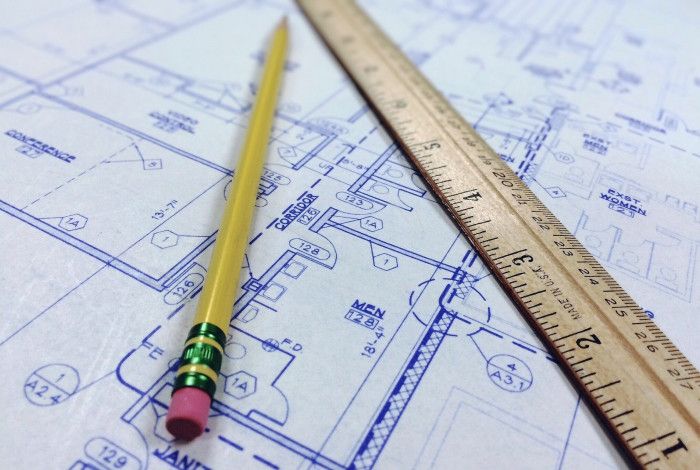
Providing complete and accurate plans and documents with your application saves time and helps us assess your proposal efficiently.
Below are the basic plan requirements for most planning applications, plus some additional requirements that may apply to your proposal.
Survey or site context plan
- Shows land boundaries, measurements, and nearby buildings.
- Must be prepared by a licensed land surveyor.
Site plans
- Drawn to scale (preferred 1:100, 1:200, or 1:500):
- Existing site plan - current state of the site.
- Proposed site plan - planned changes and final layout.
- Plans must show:
- North point, boundaries, dimensions, adjoining streets
- all adjoining properties, including details of the use, building locations, access ways, and other significant features
- habitable room windows and secluded open space areas of surrounding properties
- development footprint and exact position of existing structures
- features affecting access/construction, such as electricity poles, street trees, drainage pits, fire hydrants, vehicle crossings
- relevant ground levels within the site and on adjacent properties (to Australian Height Datum – AHD)
- easements, drainage and sewerage pipes, power lines
- driveways, parking spaces, visitor parking, loading areas, bicycle parking, pedestrian paths
- footpaths for public and private areas, areas set aside for outdoor storage and service facilities such as plant equipment
- vegetation to be retained or removed
- areas not in immediate use.
Elevation plans
- Drawn to scale (preferred 1:100).
- Show the building from each side and include:
- natural ground level, proposed cut/fill, finished ground and floor levels, building height (to Australian Height Datum (AHD)
- external wall heights above natural ground level
- colours, materials and finishes of all external surfaces.
Floor plans
- Drawn to scale and viewed from above showing:
- location and dimensions of walls, windows and doors
- proposed use of each room or area within the building
- floor area of rooms.
Shadow diagrams
- Show the outline of the site and surrounding properties with shadows from the proposed development.
- Provide diagrams for key times (eg. 9am and 3pm at the September equinox).
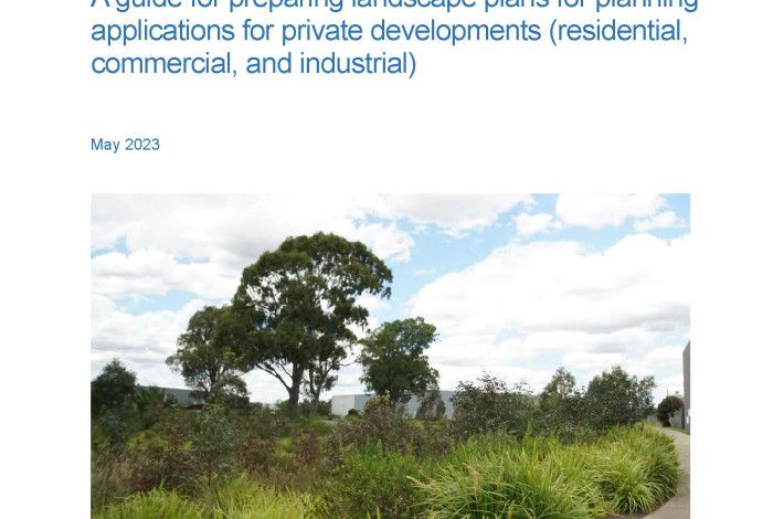
Landscape Plans
- Show proposed landscaping and materials, including:
- natural and finished surface levels of the land, including any proposed retaining walls
- existing vegetation to be retained and removed (an Arboricultural report is required if removing native vegetation)
- ground covers (mulch, lawn areas)
- maintenance methods (preparation, watering, drainage)
- extent of any earthworks
- plant details: botanical name and common name, mature height and spread, pot size, purchase height (if the plant is a tree), individual plant quantities
- Show location of existing trees, grassed areas, and other landscape features.
See Landscape plan guidelines for more information.
Garden Area Plan
- Identify the part of the site not covered by buildings, driveways or other structures.
- Typically shown using hatching or shading.
Other documents you might need
Depending on your proposal, you may also need to provide other documents such as:
- Traffic and transport assessment report
- Waste management plan
- Environmentally sustainable design (ESD) report
- Arboricultural (tree) report.
See Planning information guides for details on application types and document requirements.